How to read a footprint change map for a builder's risk renewal
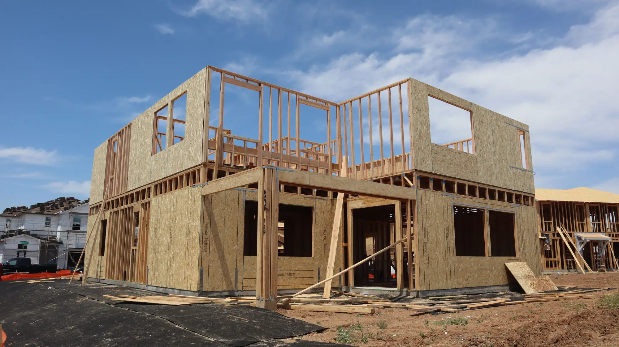
A footprint change map lands on your desk at renewal looking like a plain site outline with a second outline drawn over it, shaded where the two don't match. Nothing about the format explains itself. Here's what each piece is telling you, and how to weigh it against the rest of the file before you sign off on the next policy period.
What's actually being compared
The map is two snapshots of the same parcel, usually a month or a quarter apart, pulled from satellite or aerial imagery and reduced to outlines: foundation, slab, structural footprint, whatever's visible from directly overhead at that point in the build. The overlay shows where the newer outline extends past the older one, new pour, new framing footprint, a staging area that's grown, and where it doesn't match the permitted site plan at all.
That last part matters more than the growth itself. A footprint tracking ahead of schedule usually reads as good news on a course-of-construction risk: less exposed stick, more enclosed structure. A footprint that's shifted laterally from the plat, or that shows a structure edging into a setback or an adjacent lot line, is worth a phone call before renewal rather than a note filed away for after a claim.
Matching the overlay to the file you already have
Pull the overlay up next to the original site plan and the most recent contractor progress report before reading either one as gospel. Three things to check:
- Does the outline growth match the self-reported percentage complete? A contractor reporting 60% complete with a footprint that's barely moved since the last read isn't necessarily off. Could be interior work. Could be a schedule that front-loaded site prep. It's a question worth asking, not a box to check silently.
- Does the footprint sit where the permit says it should? Site plans get amended. Sometimes nobody tells the carrier.
- Has anything changed around the structure that isn't in the footprint itself? Fencing down, a gate left open, stored materials spread across what used to be a staged laydown area. Visible in the same imagery pass, and still underwriting information even though it's not "footprint" in the strict sense.
It supplements the inspection report and the contractor's own paperwork with an independent read of the one fact that's hardest to pin down from a phone call: how much of the structure is actually standing, and where.
Reading the stage-of-completion piece
Stage of completion on these overlays comes from what's visible overhead: slab poured, walls up, roof framed, roof sheathed. MEP rough-in and interior finish won't show up; no overhead imagery catches that. The exterior shell milestones it does catch drive most of the valuation and most of the loss-of-use exposure on a typical course-of-construction form. If the visible stage lines up with what the contractor reported last period, that's one less thing to chase before you renew. If it doesn't, you've got a specific question for the named insured instead of a vague feeling the file needs another look.
What to do with a mismatch
A mismatch between the overlay and the reported progress usually just means asking why: delayed permit, change order, inspector hold, or an optimistic report. Most of the time there's a straightforward answer on the other end of the phone call. The value in catching it before renewal instead of after a loss is simple. You get to ask the question while it's still routine underwriting, while the answer is still easy to get.
Builder's Risk Monitor builds this comparison every month from repeat high-resolution imagery, so the overlay you're reading is current against the last renewal cycle rather than whatever was on file when the policy was written. If footprint drift and stage-of-completion mismatches are turning into phone calls you don't see coming, it's worth putting one of these on a project.